This eleventh stage of the Trans-Pyrenees Crossing takes you to the great valley of Cerdanya. From Planoles you will ascend to the beautiful town of Dòrria, declared a National Cultural Heritage, and you will continue to the hill of Creu de Meians. At this point you will enter Cerdanya and began a long and gentle descent to Puigcerdà. During this descent, where you will alternate tracks, paths and take a final stretch on a road, you will enjoy great views of the wide valley of Cerdanya, with its charming villages and the large mountains that define it.
Considerable. Derived from the length and ascent to overcome. This stage does not have any technical difficulties.
In the winter there are some snowy stretches.
No special equipment required.
Cerdanya. 01:50.000. Editorial Alpina.
Topographic base of Catalonia 1:25.000. Geological and Cartographic Institute of Catalonia (ICGC).
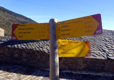
Let's begin the 11th stage of the Trans-Pyrenees Crossing to (1) Planoles (0:00 - 1,145m). Go up towards the village of Planès and pass along the beautiful Romanesque church of Sant Marçal. Cross the road and immediately link up with the GR 11. Now begin a long and gradual ascent that leads to Dòrria first and then to Creu de Meians Hill.
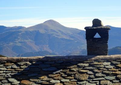
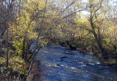
Continue on a well-defined path that flanks the mountain. Go up the Rigart River Valley, always to the W-NW, with the Toses Mountain Pass road below us, about 300m to the left. You will reach a point where you will see the beautiful town of Dòrria elevated above. Continue advancing and enter (2) Dòrria (1:45 - 1,520m), one of the most elevated towns in Catalonia. Dòrria stands out for its beauty and charm, and it is declared a National Cultural Heritage.
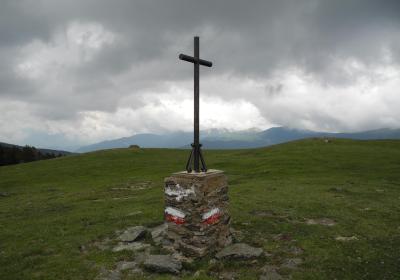
After visiting this beautiful town, continue your ascent. Now continue on a dirt track, which you will stay on till reaching (3) Creu de Meians Hill (3:50 - 1,993m). At this point the GR 11 trail follows the edge of the border and flanks the mountain to the NW until reaching (4) Marcer Hill (4:45 - 2,005m), the highest point of the stage. From the hill cross a meadow towards the NW and link up with a wide track that descends gently down the side of a ravine.
After about 3 km you will reach a fork in the track. You are now between the Pla de les Forques and the area of the Vilallobent Refuge. At this point you must pay special attention: leave the track and continue heading north on a poorly defined path down a small ravine. Soon you will once again be back on the path that you will not leave until reaching Vilallobent. You will reach a point where the track leaves the gorge and continues along the ridge of a mountain stretch that offers stunning views of the wide Cerdanya Valley. You will see Puigcerdà, the final part of the stage, right in front of you to the N.
You will reach the centre of (5) Vilallobent (6:40 - 1,170m), which you will cross. As of this point and until reaching Puigcerdà, you will advance on the paved road. First continue to the centre of (6) d'Age (7:00 - 1,145m), where you will turn to the left. You will travel one more stretch until reaching (7) Puigcerdà (7:25 - 1,140m), the great capital of Cerdanya.
Visit Dòrria, a lovely and charming town located more than 1,500m above seal level.
The views of the Cerdanya Valley during the long descent from Marcer Hill.
The GR 11 on its stretch in the Rigat River Valley coincides with the so-called Camí dels Carlins? So called because it was the escape route used by the Carlists military that were defeated by General Prim in the mid-19th century.
The 502 boundary post found at Creu de Meians Hill. These boundary posts or mugues, which are usually stone, mark the Hispano-French border according to the limits agreed by the two states in the Treaty of the Pyrenees in 1659. From Empordà to the Basque Country there are a total of 602 boundary posts.
The long GR 4 path begins in Puigcerdà, which connects this town to the monastery of Montserrat in 11 stages.


